N 34° 17.886 W 083° 55.412
UTM: 17S E 230921 N 3799079
This is a  hidden on an island on Lake Lanier. The cache is not at the posted coordinates (but it is on the same island).
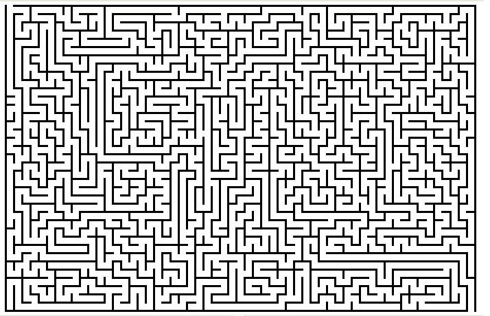
The coordinates of the cache are: N 34° 17.683 W 083° 55.__7. The path through the maze below will reveal the two missing digits. Official Geocache Code: GC1P50N
